Rabbit Ears Pass is a scenic mountain pass located in north-central Colorado, connecting the towns of Kremmling and Steamboat Springs. It’s a popular destination for outdoor enthusiasts, offering stunning views and access to a variety of recreational activities. But exactly where is it, and what makes it so special?
Discovering Rabbit Ears Pass: Location and History
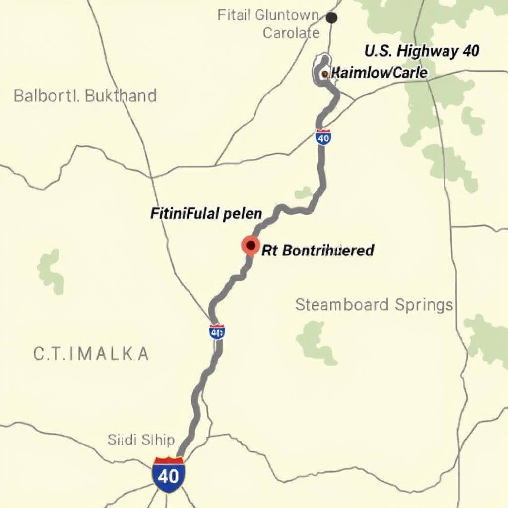
Rabbit Ears Pass sits at an elevation of 9,426 feet (2,873 meters) and traverses the Continental Divide, the mountainous backbone of North America. It’s part of U.S. Highway 40 and provides a crucial transportation link between the eastern and western slopes of the Colorado Rockies. The pass gets its name from the distinctive rock formations that resemble, you guessed it, rabbit ears! These prominent landmarks are visible for miles and add to the area’s unique charm. Originally used by Native American tribes as a travel route, Rabbit Ears Pass became an important passage for settlers and traders in the 19th century. The construction of Highway 40 solidified its role as a major transportation artery, opening up the area for further exploration and development.
 Rabbit Ears Pass Location Map in Colorado
What to Do at Rabbit Ears Pass
Rabbit Ears Pass is a playground for outdoor lovers, with something to offer in every season. In summer, hiking trails wind through wildflower meadows and forests, offering breathtaking panoramic views. Mountain biking enthusiasts can tackle challenging trails, while anglers can cast their lines in pristine alpine lakes and streams.
What about winter? Rabbit Ears Pass becomes a winter wonderland, perfect for snowshoeing, cross-country skiing, and backcountry skiing. The nearby Steamboat Springs ski resort offers world-class downhill skiing and snowboarding just a short drive away.
Hiking at Rabbit Ears Pass
Numerous hiking trails cater to all levels of experience, from leisurely strolls to challenging climbs. The Rabbit Ears Peak Trail leads to the summit of one of the iconic “ears,” rewarding hikers with stunning vistas. The Zirkel Wilderness Area, accessible from the pass, offers more challenging backcountry hikes.
Winter Activities at Rabbit Ears Pass
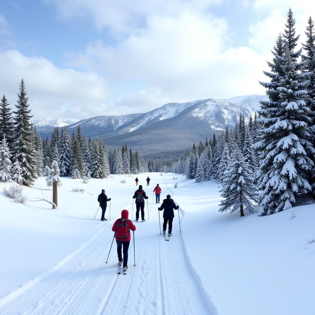
Winter transforms Rabbit Ears Pass into a snowy paradise. Cross-country ski trails crisscross the area, providing miles of groomed tracks for skiers of all abilities. Snowshoeing is a popular activity, allowing you to explore the winter landscape at your own pace.
 Winter Activities at Rabbit Ears Pass in Colorado
Getting to Rabbit Ears Pass
Reaching Rabbit Ears Pass is relatively straightforward. From Denver, take Interstate 70 west to U.S. Highway 40, then follow Highway 40 north to the pass. From Steamboat Springs, simply follow Highway 40 south. The drive itself is a scenic treat, offering stunning views of the Colorado Rockies.
Driving Conditions and Safety
Remember to check road conditions before heading to Rabbit Ears Pass, especially during winter. Snow and ice can make driving challenging, so be prepared with appropriate tires and chains. Be aware of altitude sickness, as the high elevation can affect some individuals.
“Rabbit Ears Pass is a hidden gem in the Colorado Rockies,” says seasoned Colorado hiker and guide, Sarah Johnson. “Its stunning beauty and diverse recreational opportunities make it a must-visit destination for anyone seeking adventure in the mountains.”
Exploring Beyond the Pass
While Rabbit Ears Pass is a fantastic destination in itself, the surrounding area offers plenty to explore. The charming town of Steamboat Springs is known for its hot springs, skiing, and western hospitality. Kremmling, on the eastern side of the pass, provides a quieter gateway to the Colorado River and surrounding wilderness areas.
“Don’t just drive through Rabbit Ears Pass,” advises local photographer, David Miller. “Take the time to stop, explore the trails, and soak in the magnificent scenery. It’s an experience you won’t forget.”
Conclusion
Rabbit Ears Pass is more than just a mountain pass; it’s a gateway to adventure and breathtaking beauty. Whether you’re seeking challenging hikes, exhilarating winter sports, or simply a scenic drive through the Colorado Rockies, Rabbit Ears Pass offers something for everyone. So, plan your trip and discover the magic of this remarkable destination.
FAQ
- How high is Rabbit Ears Pass? It sits at an elevation of 9,426 feet (2,873 meters).
- What is the closest town to Rabbit Ears Pass? Both Kremmling and Steamboat Springs are relatively close.
- Is Rabbit Ears Pass open year-round? Yes, but be sure to check road conditions during winter.
- What kind of wildlife can I see at Rabbit Ears Pass? You might spot elk, deer, moose, and various bird species.
- Are there camping facilities near Rabbit Ears Pass? Yes, several campgrounds are located in the surrounding area.
- Can I drive a car over Rabbit Ears Pass? Yes, it is part of U.S. Highway 40.
- What are the best times to visit Rabbit Ears Pass? Summer and winter offer different but equally rewarding experiences.
Other related topics you might be interested in:
- Best Hiking Trails near Steamboat Springs
- Winter Activities in North Central Colorado
- Scenic Drives in the Colorado Rockies
Need help planning your trip to Rabbit Ears Pass? Contact us at Phone: 0373298888, Email: [email protected] or visit our office at 86 Cầu Giấy, Hà Nội. We have a 24/7 customer service team ready to assist you.
